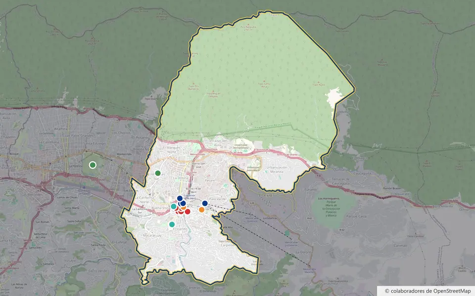
Map of Petare: Boundaries, Old Town, Neighborhoods and How to Get There
Interactive map of Petare (Caracas): parish boundaries, historic center, neighborhoods, metro and places of interest, with directions to each.
Topic · 11 articles
Colonial churches, museums, historic houses, parks and corners of Petare worth visiting, with photos and videos.
Interactive map of Petare (Caracas): parish boundaries, historic center, neighborhoods, metro and places of interest, with directions to each.
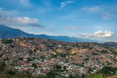
See Petare from above with this gallery of aerial photos of the largest barrio in Caracas.
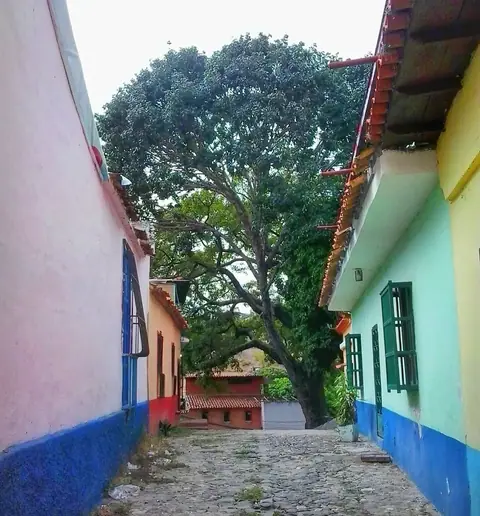
Discover the history of Callejón Z, Petare's old Camino Real and an urban relic of the colonial town.
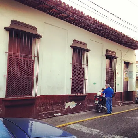
The story of Ana Francisca Pérez de León and the Casa de los León, today Petare's Public Library.
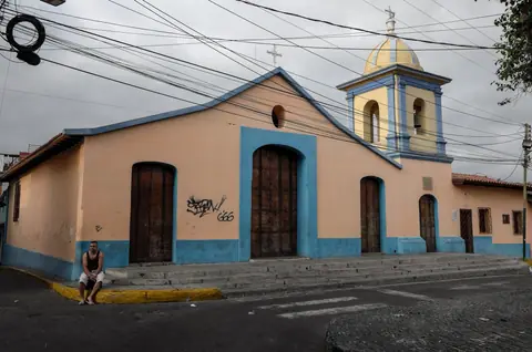
Discover the Chapel of Santa María Magdalena, a colonial church in Petare with sacred art and local legends.
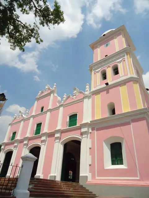
History and architecture of the Church of Dulce Nombre de Jesús, the colonial church at the heart of faith in Petare.
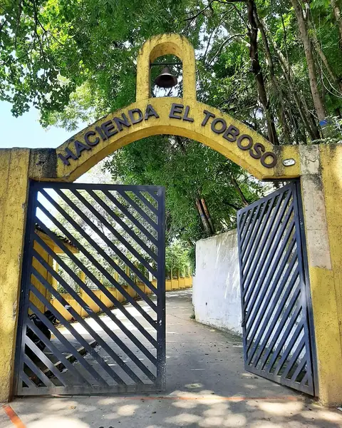
Discover Hacienda El Toboso, home of painter Tito Salas and today a House of Culture in Petare.
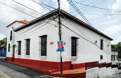
Discover the Bárbaro Rivas Museum of Folk Art in Petare: its history, legends and art collection.
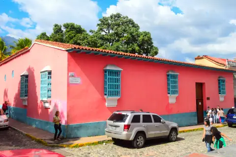
Discover the Parish House of Petare, built in 1786: its colonial architecture and religious treasures.
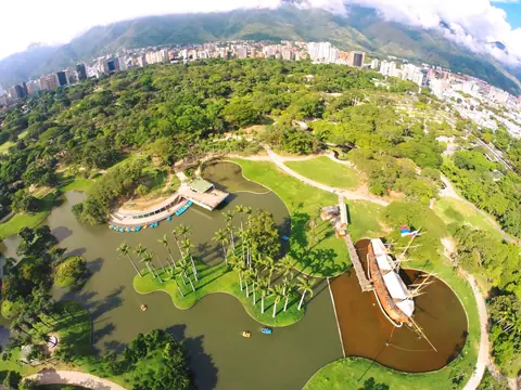
Petare's parks and natural areas: from El Ávila to the Miguel José Sanz, Miguel Otero Silva, Panaquire and Yare parks.
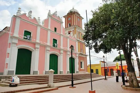
Tour the most important historic sites in Petare: colonial churches, old mansions and monuments from its past.